Sussex
Scrapbook ~ Wildlife walks throughout the year
Sunday 8th to Friday 13th September 2013
Mountain Leader Training with
Mere
Mountain.
Great Tower Scout Camp - Windermere, The Lake District.
I put my name down for
this nationally recognised award a few months ago without completely
understanding what was involved but I'd been waiting with baited breath for it
to start ever since. The chance to; mix with people who also have a passion for
maps, compasses and exploring; have my outdoor, leadership and safety skills
tested to the max; to have a full 6 days of intense training and to get out onto
the mountains once again was one that I couldn't wait to get started on.
Unfortunately there were quite a few things in the preceding week that put me to
the test just as much.
Firstly the bike: it keeps spitting the carburettor off! I can now remove and
replace the carb at the side of the road in less than 5 minutes as I've had such
a lot of practice at it lately. I was still working on the bike, trying to make
the bloomin' thing stay on, right up until the moment I left. Eventually it was
forced on by the addition of some strategically placed, rolled-up cardboard and
a lot of expletives!
Secondly, my kit. My boots are on their last legs (!) and my jacket was
inadequate for the mountains. The boots had to last for one more expedition but
I bought myself a new jacket - one which also doubles as a winter bike jacket,
so two birds...
I also had to try and organise someone to look after the Scout troop on the
Wednesday and I was also missing the first day of the GCSE
maths course at Crawley College I'd put myself down for. Still, mountains before
maths eh!
I left at 2.30pm and hadn't got 5 miles north before the bike started
playing up - a fuel starvation problem forced me to keep the speed to less than
65mph, to keep filling the tank up every 50 miles and to occasionally hop down
the M6 like a kangaroo as the fuel came and went in pulses. 10 hours later when
I arrived at Great Tower I was very
glad to get off.
The course started the next morning with orienteering and for the next 6 days we
were intensively trained in navigation, map work, compass, rope, safety,
emergency procedures, river crossing, leadership skills etc. For three days we
were on expedition on the mountains and put all of our training into practice,
navigating in the mist and rain and carrying 14kg rucksacks. Every night we were
set challenges of; finding tiny features on the map; working out their distance
from us; working out the time it would take us to get there; taking a bearing to
it and finding it - all in the pitch dark and rain. The second night after
walking back down from the hill tops we found that our campsite next to the
river was close to being flooded by the river. We had to stay up and make sure
the level went back down again.
On the third day, just when we thought we were wet enough we practiced river
crossings. Finally we had a yomp over very wet sphagnum back to civilisation in
the form of the bridge at the bottom of
Hard Knott with a waiting minibus.
The trainer gave us all a review at the end and he says that I have the
experience and skills necessary and I am ready to take my assessment, which was
a wonderful thing to hear. I shall spend the time between then and now
reading textbooks, practicing my navigation and making several more trips into the uplands.
Lastly all I had to do was ride 320 miles back home on a poorly bike. I flushed
out the tank and fuel tap and after 5 further breakdowns and seven refuels we
made it back to Sussex after 8 hours riding.
Apologies for the quality of the picture as most were taken hurriedly on my phone between gaps in training and downpours.
.jpg)
Great Tower.
.jpg)
Rope training. How to aid, help, rescue and give confidence to a hill walker
using a rope.
.jpg)
Finding a good anchor for a belay is essential.
.jpg)
.jpg)
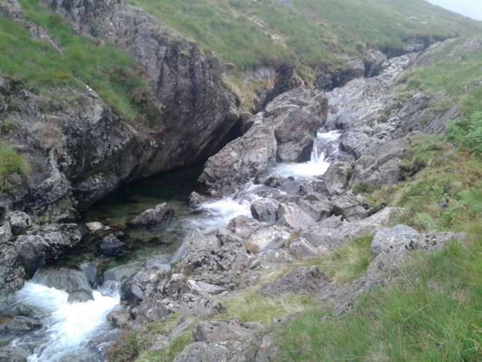
Looking down on a gorge as we climb into the area of the first Elizabethan
mines.
.jpg)
Up and past
Coniston YHA.
.jpg)
The old mine workings.
.jpg)
Higher up we investigate a mine entrance.
.jpg)
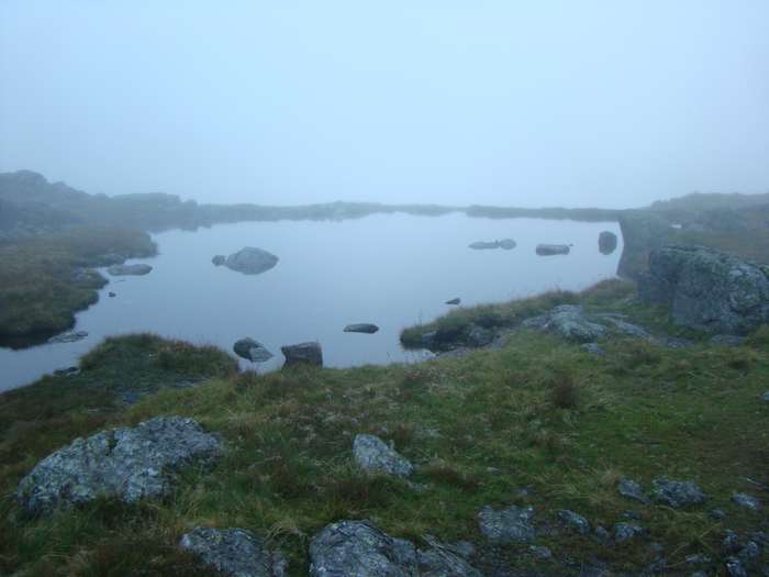
Levers Tarn.
.jpg)
Sphagnum moss and Sundews.
.jpg)
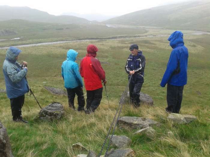
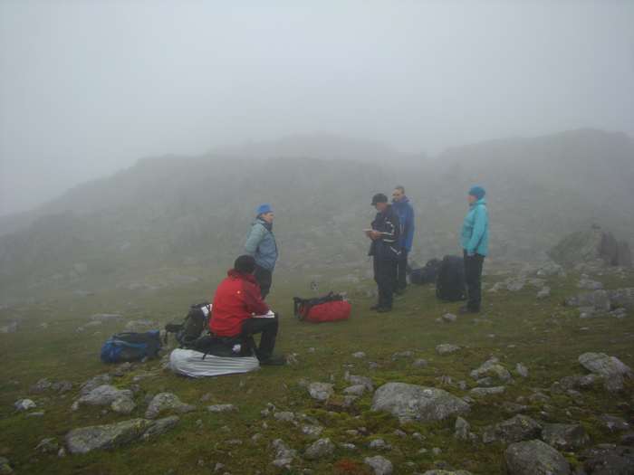
We concentrate on navigating using pacing and contours.
.jpg)
Heading from knoll to knoll as we climb almost to the summit of Black Sails.
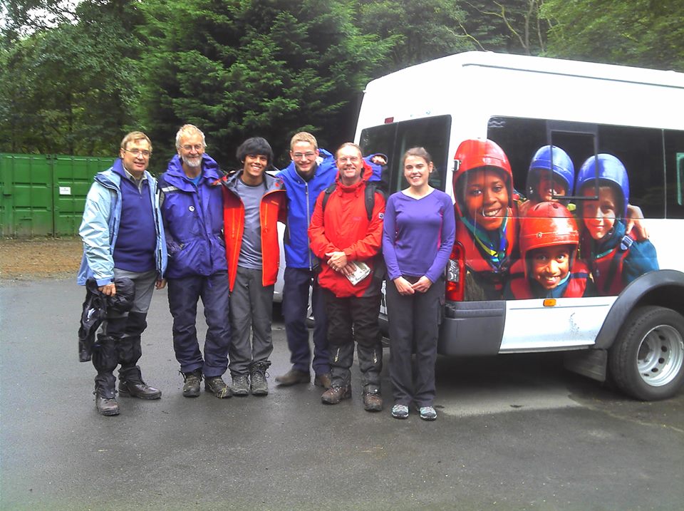
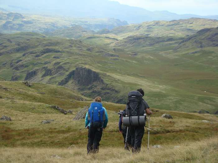
Ready to leave for our 3 day expedition.
More rope work in the rain.
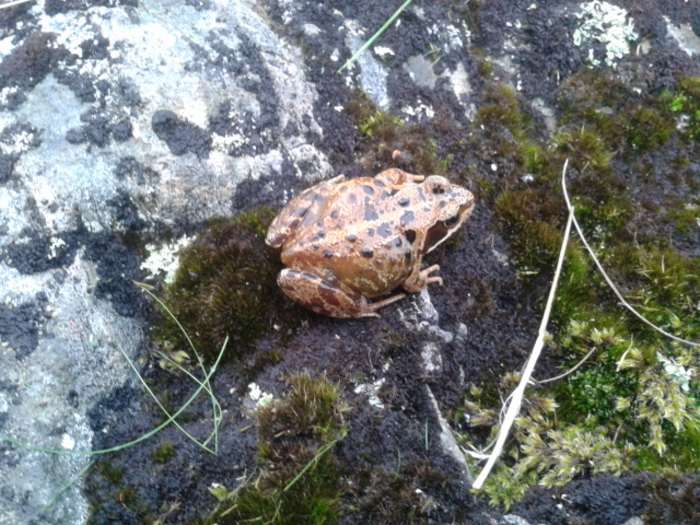
Some people don't care about wet feet -
A Common Frog (Rana temporaria).
Our water source - from the clouds, onto
the rocks, into our bottles. Lovely!
.JPG)
First night's wild camp near Green Hole.
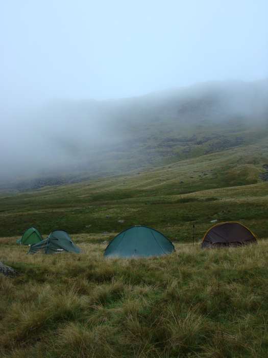
A very atmospheric place to stay.
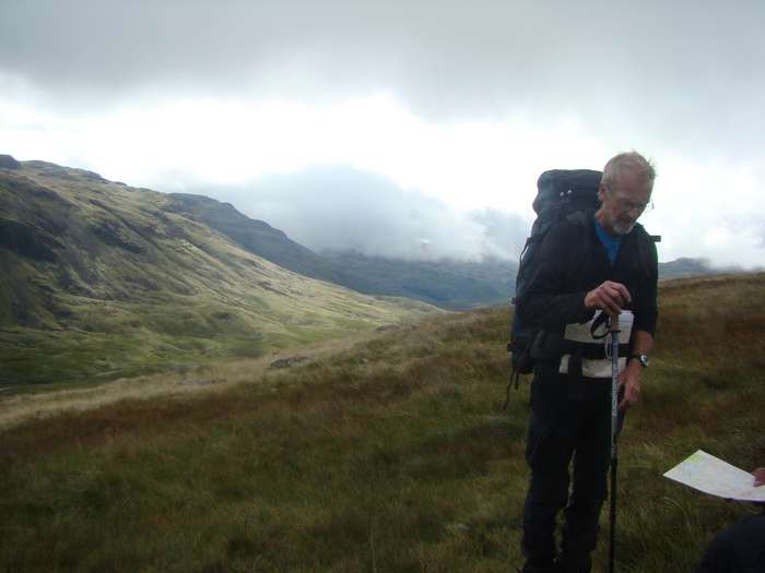
Our highly skilled trainer - John Mason of
Mere
Mountain.
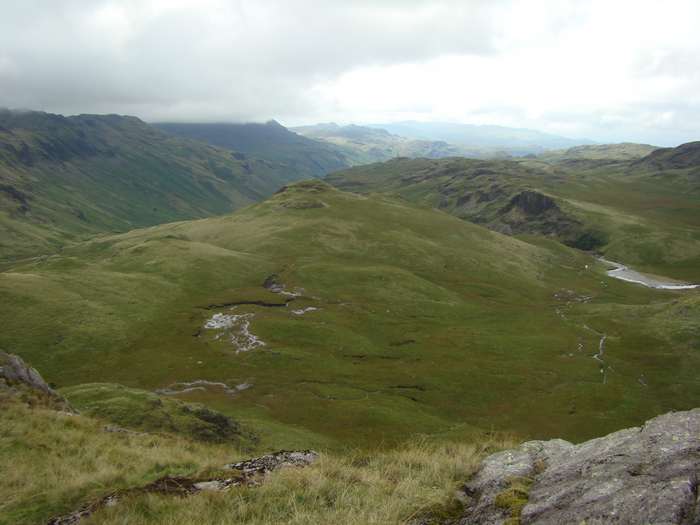
It's for views like this that people want to come into the mountains.
Questions: Where are you? Where is your next target feature on the map? How far
in metres is the feature?
How long will it take you to get there? What type of terrain is it? What is the
bearing to the feature?
How will you know you are at the feature when you get there? How will you know
if you have gone too far?
Go to the feature!
You have found a feature. Is it at the distance that you calculated?
Can you give 3 pieces of evidence that it is actually your target feature?
How long did it take to get here? How close were you?
.jpg)
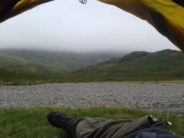
The view across the River Eske from my
room.
.jpg)
Coming down from the hills for the last time. See you again soon!
.jpg)
Ready to leave for home. Fingers crossed!
.jpg)
There was some strange traffic about on the way home!
Take the time to read
the
countryside code for yourself and please stick to it at all times.